VISC 402 Studio ︎︎︎ Project 1 |Project 2 | Project 3 or 4 | Resources | Drive
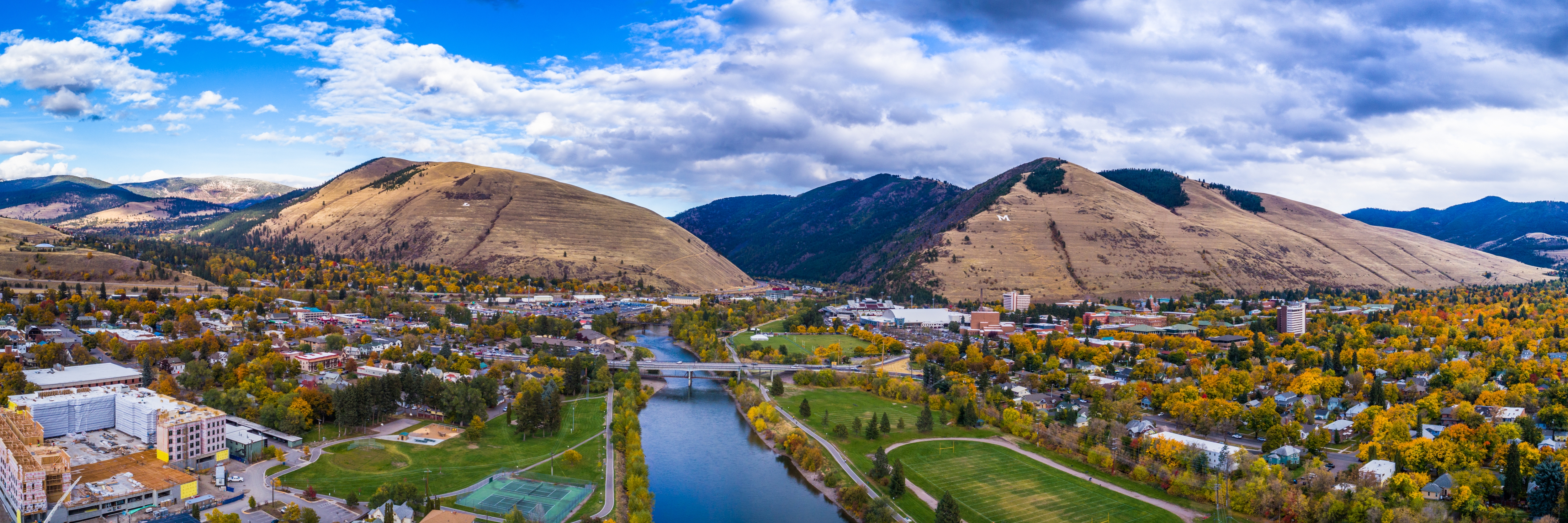
Wayfinding the River:
A Signage & Identity System for the Clark Fork
Project Overview:
Design a cohesive, flexible, and recognizable signage and brand identity system to support safe, educational, and environmentally conscious river access in Missoula.
This system will support floaters, trail users, and restoration efforts along the Clark Fork River by clearly communicating access points, closures, and educational messaging aligned with the goals of the Missoula River Ambassadors and regional partners.
Deliverables:
-
Visual Identity System: A brand identity including logo/graphic marks, color palette, and typography for use across multiple materials (e.g., signs, handouts, maps).
-
Wayfinding Signage: Design of scalable signage types including:
-
Access Point Markers (for floaters and trail users)
-
Restoration Area Closure Signage (viewable from river and
-
Access Point Markers (for floaters and trail users)
Design Considerations:
-
Be highly legible in both natural and built environments
-
Ensure clarity and visibility for both river-based and trail-based users
-
Modular for future expansion and scalable across different locations
All shared files, research, and student work will be uploaded to the shared folder: MISSOULA_CLARK_FORK_SIGNAGE
Additional content may come from:
Project Schedule
Week 1: Discovery & Concept Development------------------------------------------------
Mon, Apr 21 – Project Kickoff
Review brief, goals, partners, and shared resources
Research session & group discussion
Wed, Apr 23 – Moodboards Due
Submit and present 1–2 printed visual direction boards (PDF format)
Include typography, colors, textures, relevant imagery, and precedent
Week 2: Visual Direction & Sketching
------------------------------------------------
Mon, Apr 28 – Digital Sketch(es) Development
Translate chosen visual direction into on-screen identity and signage sketches. Present to the group.
Wed, Apr 30 – Concept Presentations
Refinements to visual direction. By end of class PDF decks posted to APRIL_30_CONCEPT_PDFS to be reviewed by Nathan and Missoula team.
Week 3: Refinement
------------------------------------------------
Mon, May 5 – Refined Concept Presentations via Zoom
Incorporate feedback and present narrowed identity system & signage family concepts.
Wed, May 7 – Work Session
Production & refinement. Feedback & peer critique.
Week 4: Refinement
------------------------------------------------
Wed, May 14 – Final Presentations Due
Upload final PDF presentations to MAY_14_FINAL_PRESENTATIONS
11x17 (multiple pages)
Include:
1. Logo/identity brand assets
2. Signage mockups & system overview
3. Use-templates and/or existing imagery to visualize a sign into the environment.
Keep sign mockups to these messaging situations:
- Directional sign pointing to an access point (on land) Maybe with distance?
- Sign identifying an accessible route to the water (on land)
- Sign communicating access is closed (on land)
- Sign identifying where to get out (from water)
- Sign identifying where I will be if I get out (from water) might feature a landmark?
- Sign identifying an accessible access point (from water)
- Sign alerting an access point is coming up (from water)
- Sign identifying a restoration area and not to get out or trample (from water)